I actually had a dream last night that I caught my 1st smallmouth.. I woke up and laughed at myself..lol.. . Guess I better do that this year..!


I actually had a dream last night that I caught my 1st smallmouth.. I woke up and laughed at myself..lol.. . Guess I better do that this year..!

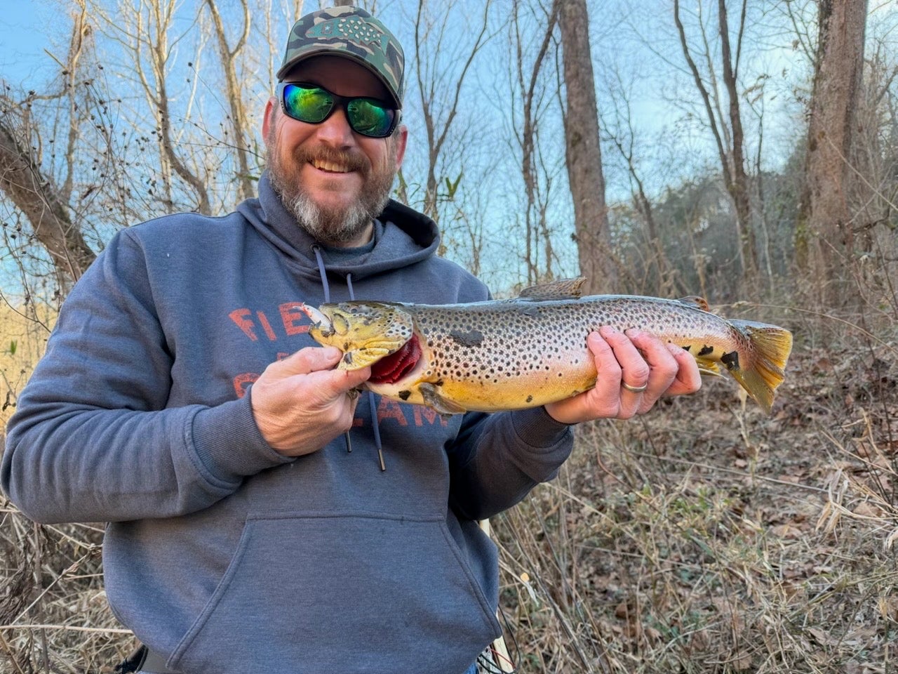
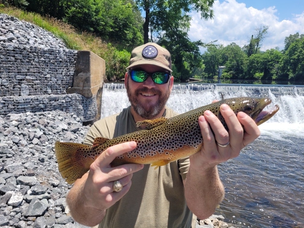
Wanted to close out the year with a big Tuckasegee smallmouth, but my guy here had other plans! Happy New Year, y’all!

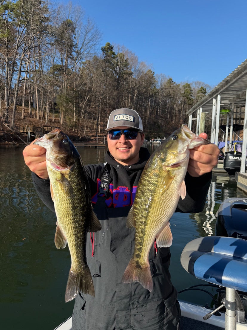
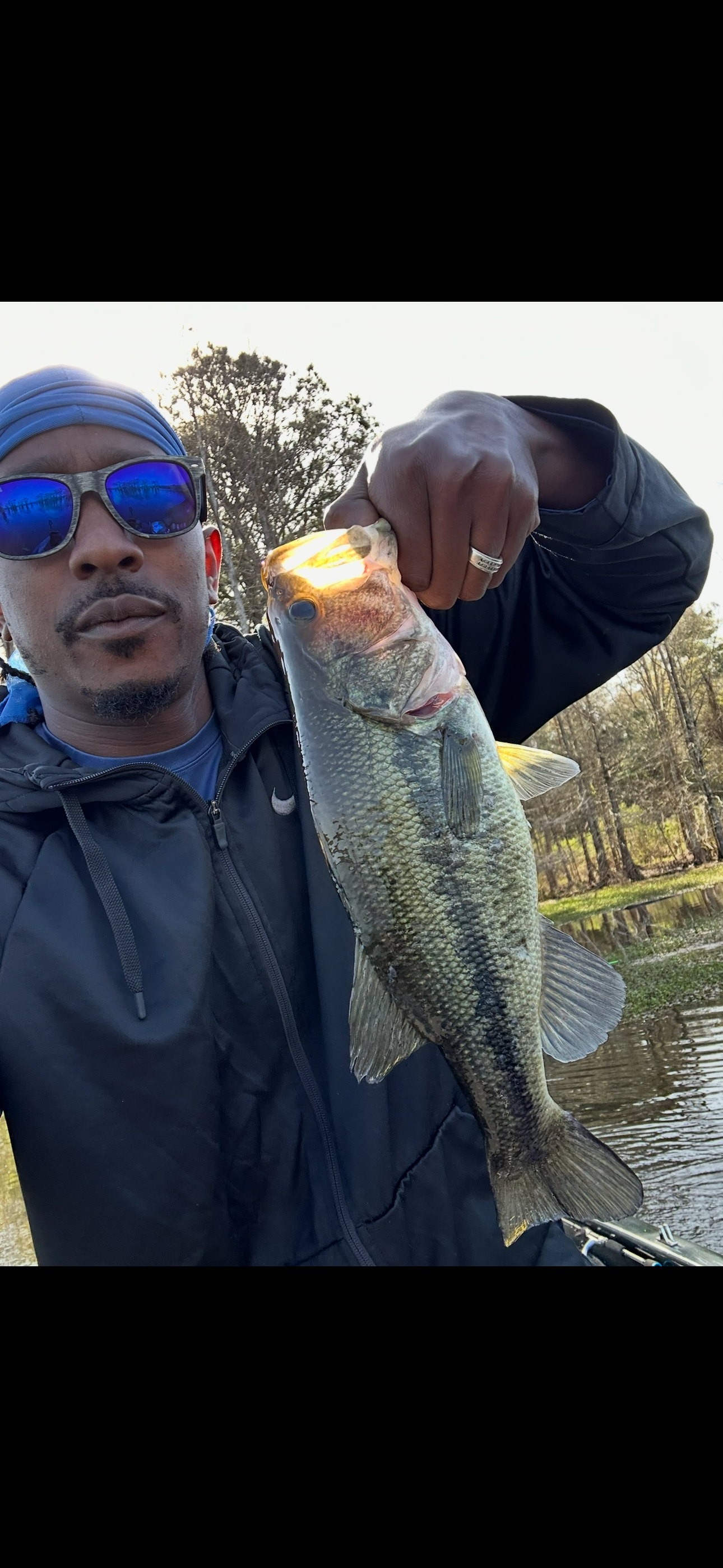
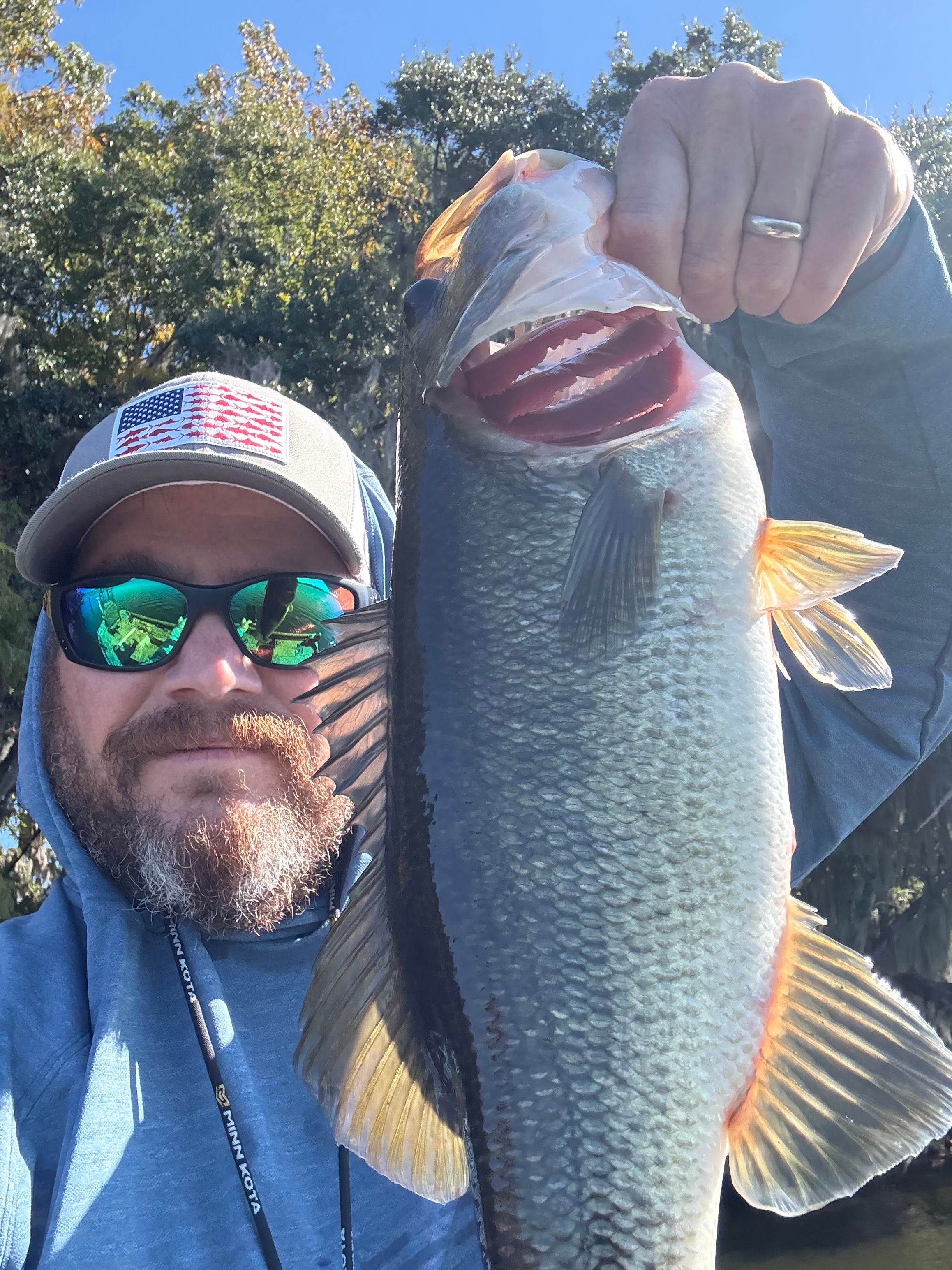
Caught my first ever jerkbait fish today. And a slab from Christmas eve, he went straight to the frying pan

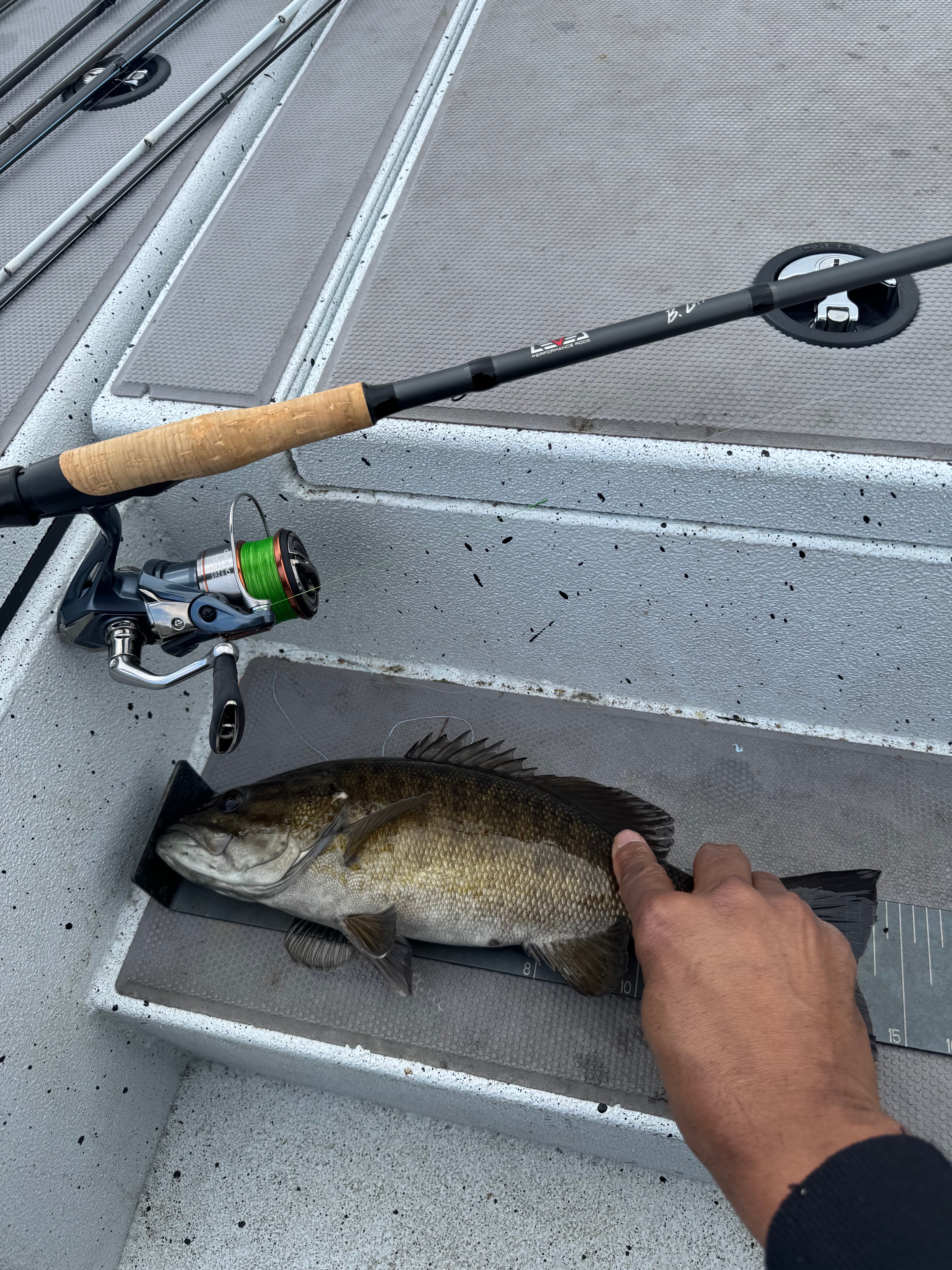
I like the spinning rod B Lat it’s has very good suspension 😁 I have yet to catch one on the 7’2 bait caster but when I do I’ll let you know know how I like it.


2025 RECAP:
This year I learned a lot. I stepped outside of my comfort zone a lot of times. I finally got those jitters and nervousness to calm, when driving to the ramp of a new lake. Thank you God for allowing me to progressed. I have been bass fishing for 5 years now and boating for two. I have become so much better at driving and positioning my boat this year. I’ve fished 9 tournaments this year and 4th place is my best. I’m coming for some checks next year, believe that!! HAPPY NEW YEAR!!
You guys want a great way to keep up with all your catches, and try to catch 2026 bass, any length, and win badges/stickers along the way, and a kayak cushion if you catch 2,026 of em? Just for $10..! Check out Marty Hughes/Kayakjack tournament..


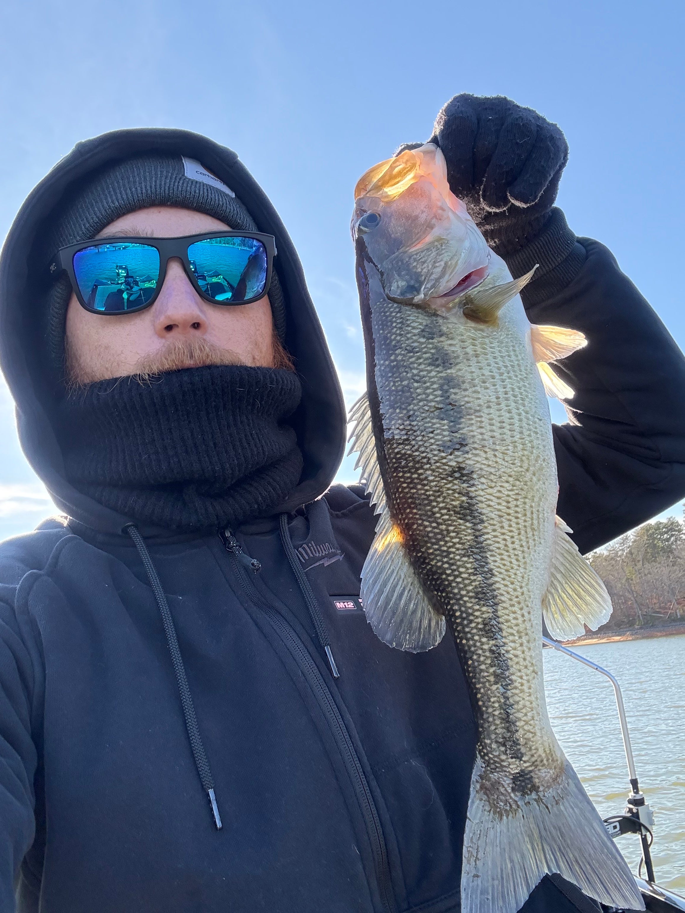
Last day of practice on Norman. Finished with 13 even. Left a lot of fish for tomorrow. Hopefully it works out.


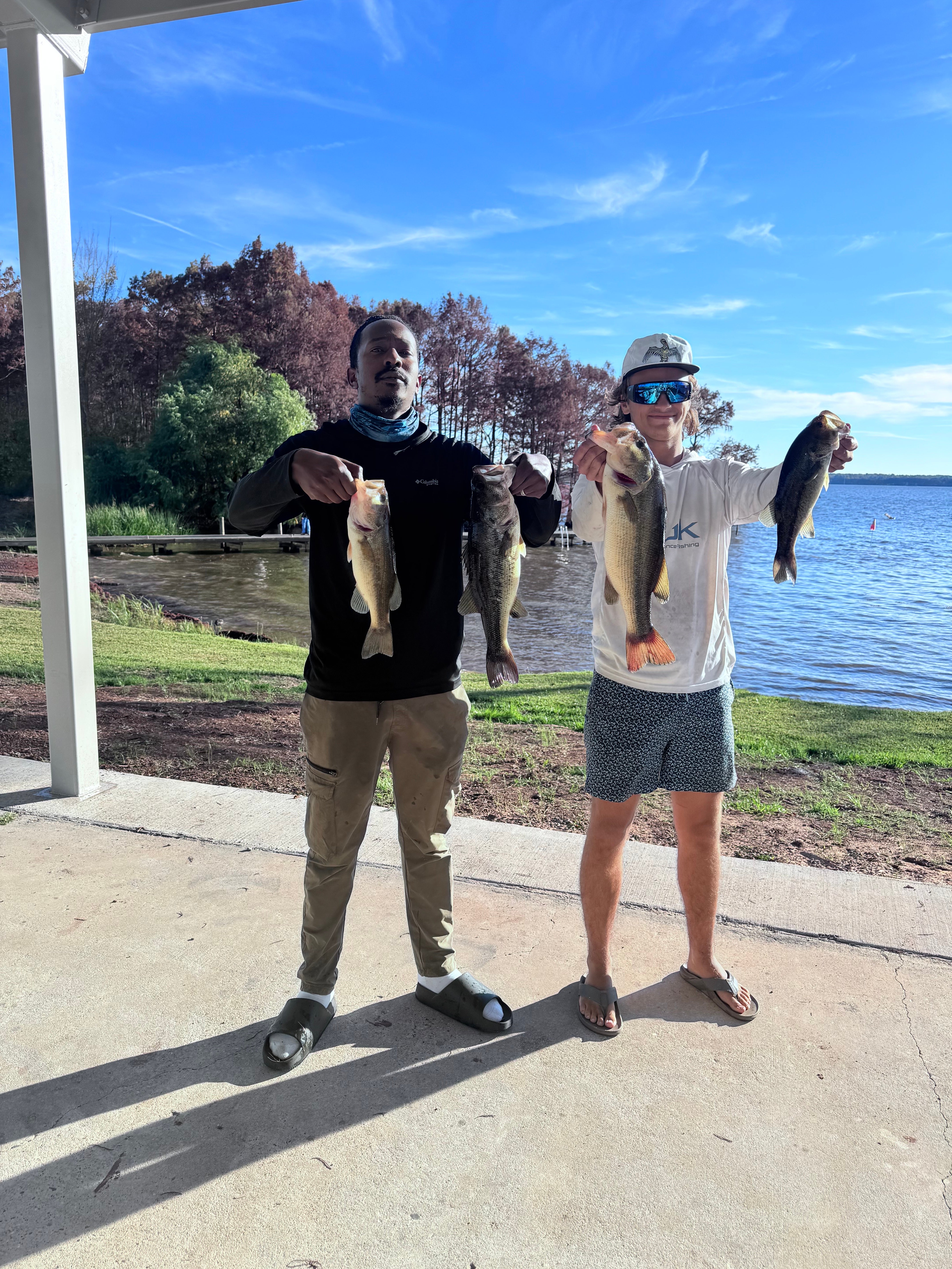
Life is good…I made a compilation of my favorite catches of the year. It’s been a tough year off the water, and fishing has provided me with a tremendous source of escape and joy. This community has made me infinitely better at catching all of my target species, and I’m so grateful for it. I can’t wait to keep it rolling in 2026!! Merry Xmas and happy New Year…God is so good!!!
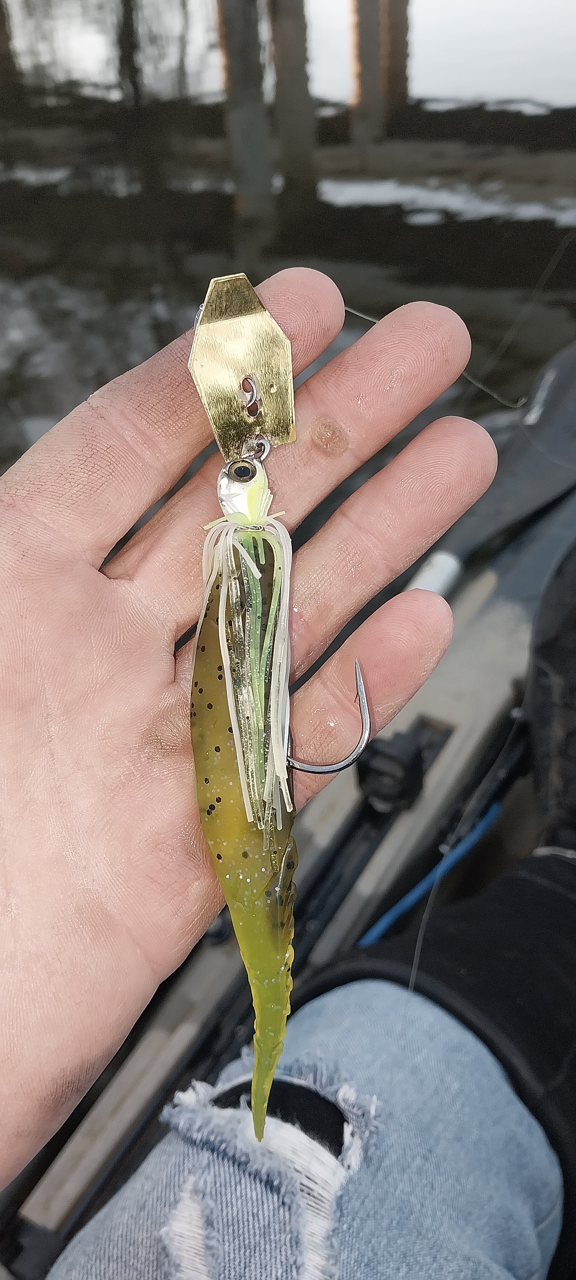
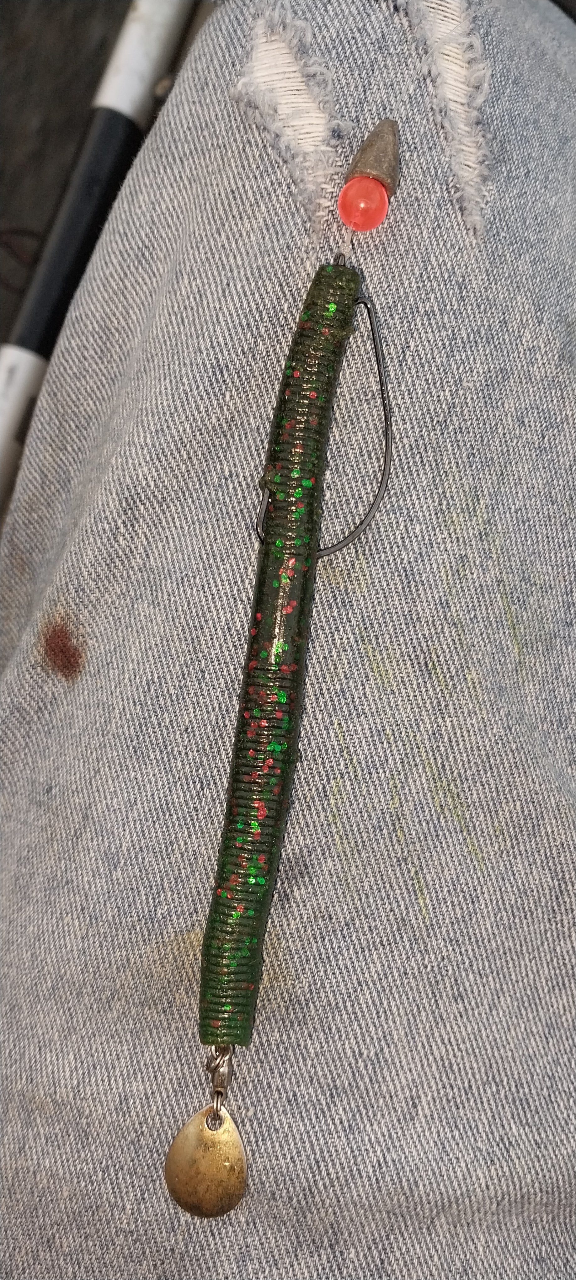
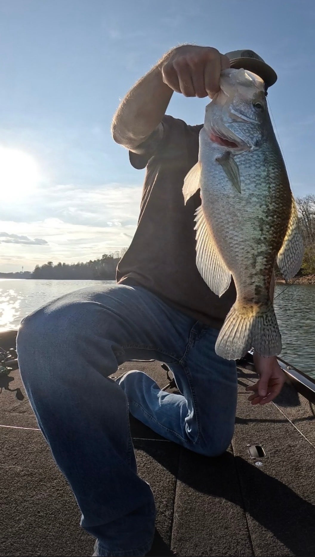
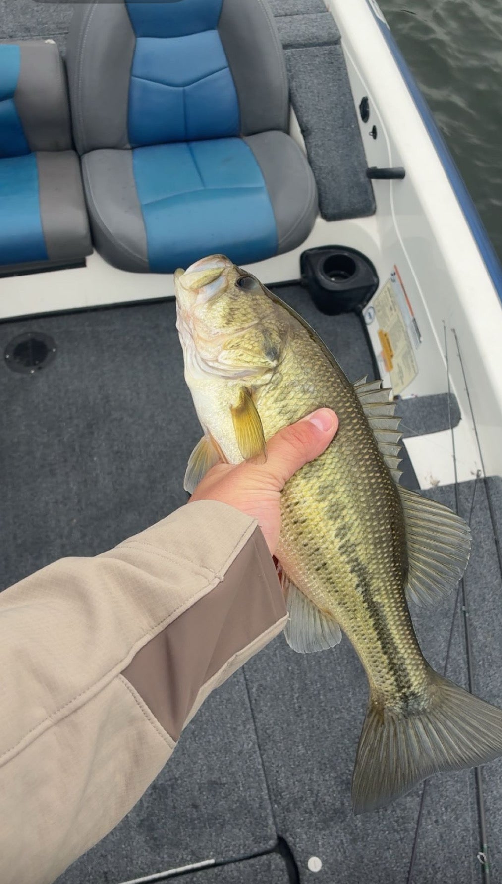
Caught em good on the Oconee river today.. and this combo on my chatterbait had them chomping great.. the chatterspike trailer stays on my chatterbait.(pictured)... Caught 6 or 7 on the chatterbait, and another 7 on the Texas rigged worm with a z-man blade stuck in the worms butt. (Pictured)