I’m doing bass talk live this morning 😬


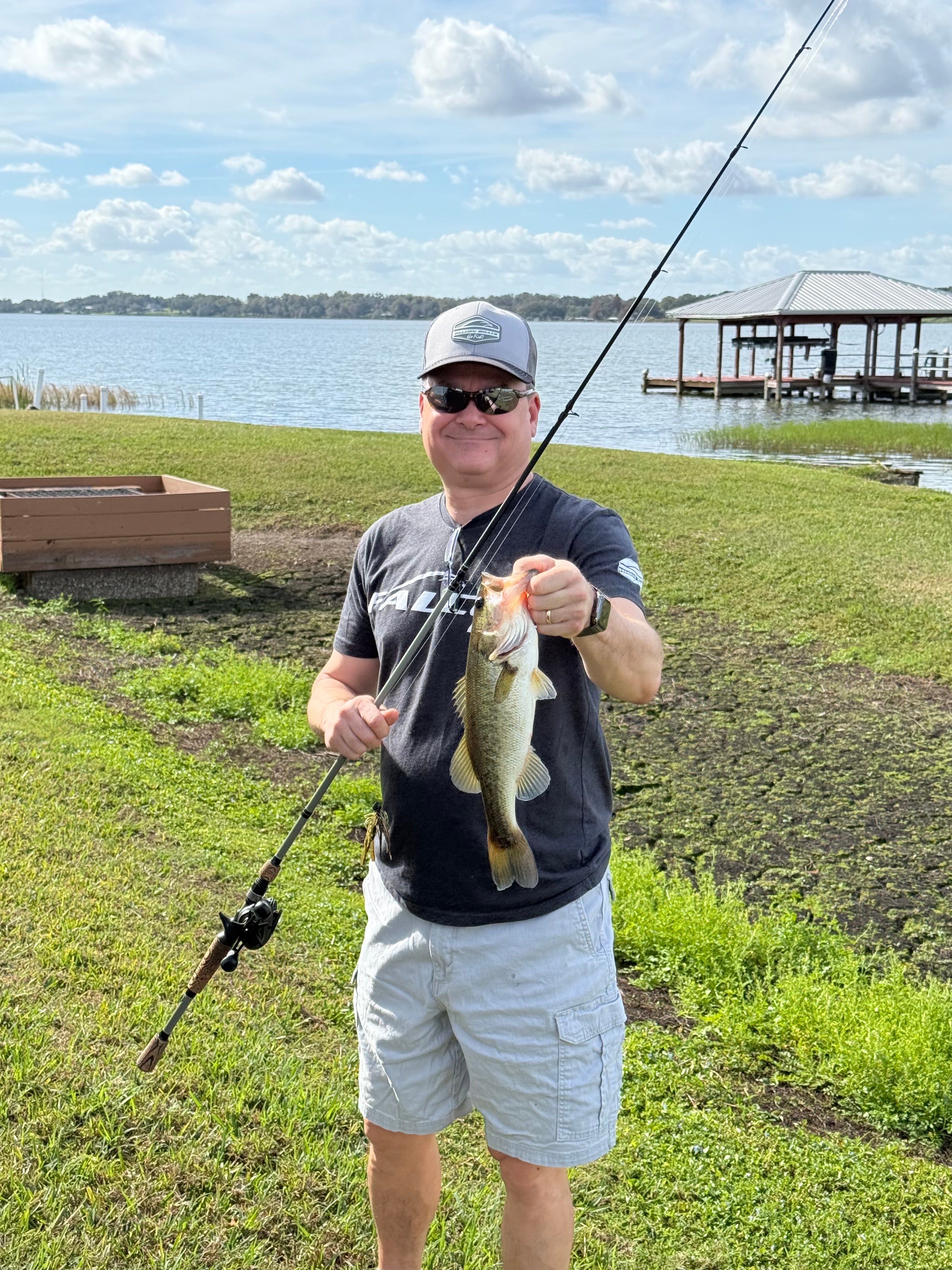
First largemouth of 2026. I am enjoying family, sunshine and liquid water. ;-)

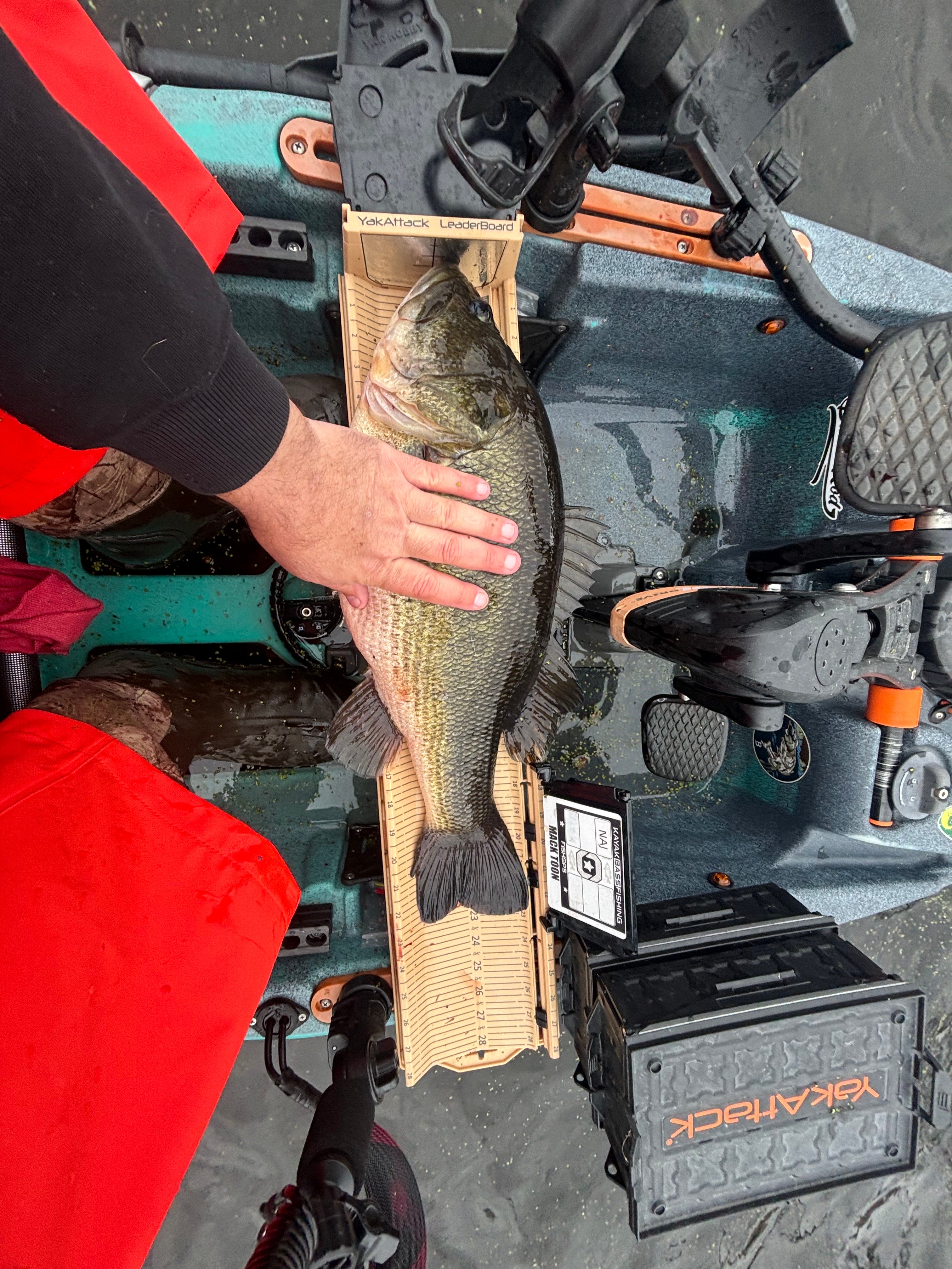
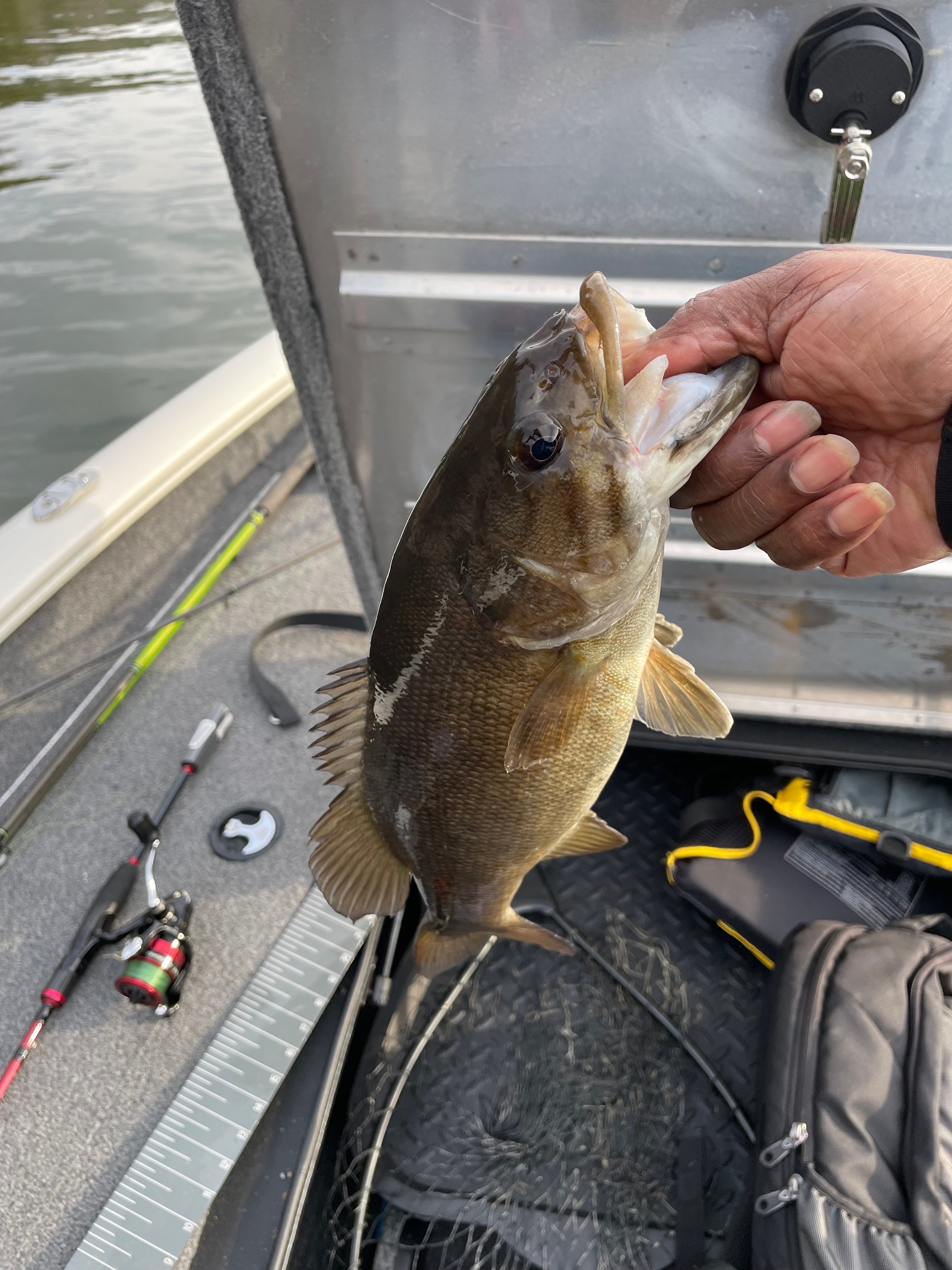
Managed to get out today wind gusts where around 35 mph so I played a heck of a time but managed one good fish.. and caught a few smaller ones..

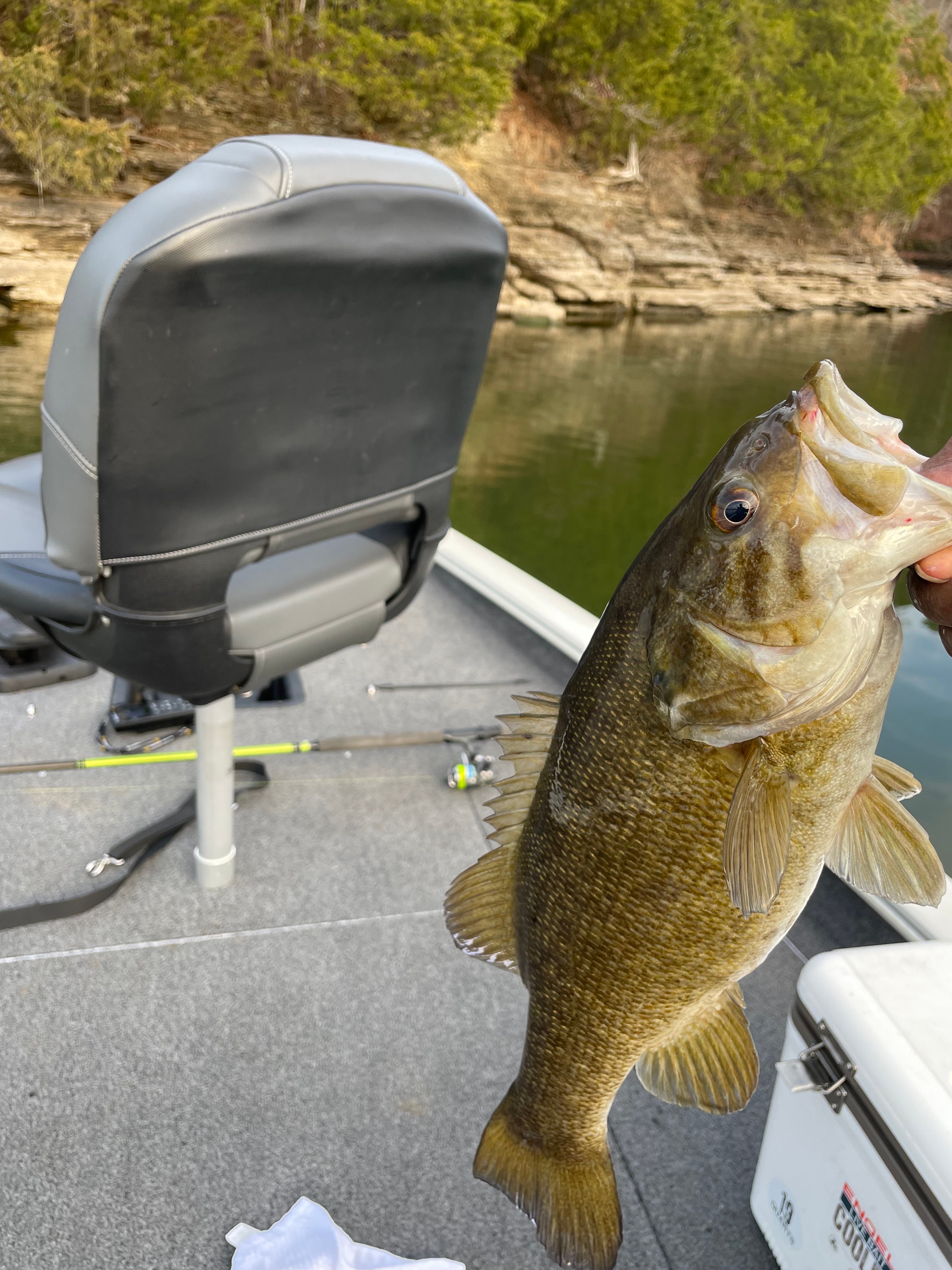
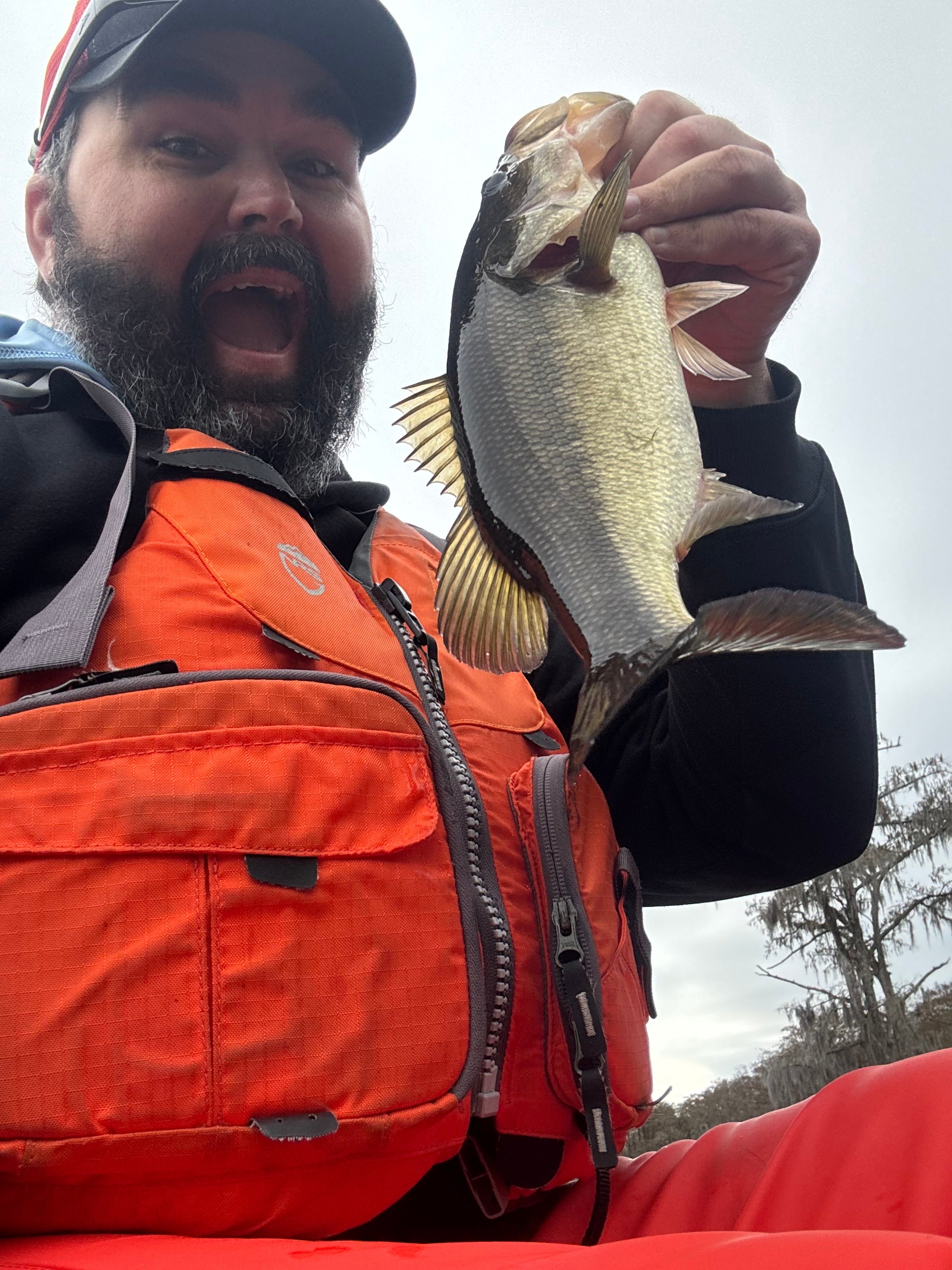
My first bass of the year. Smallmouth bass were hitting today. Fun way to start off the year!

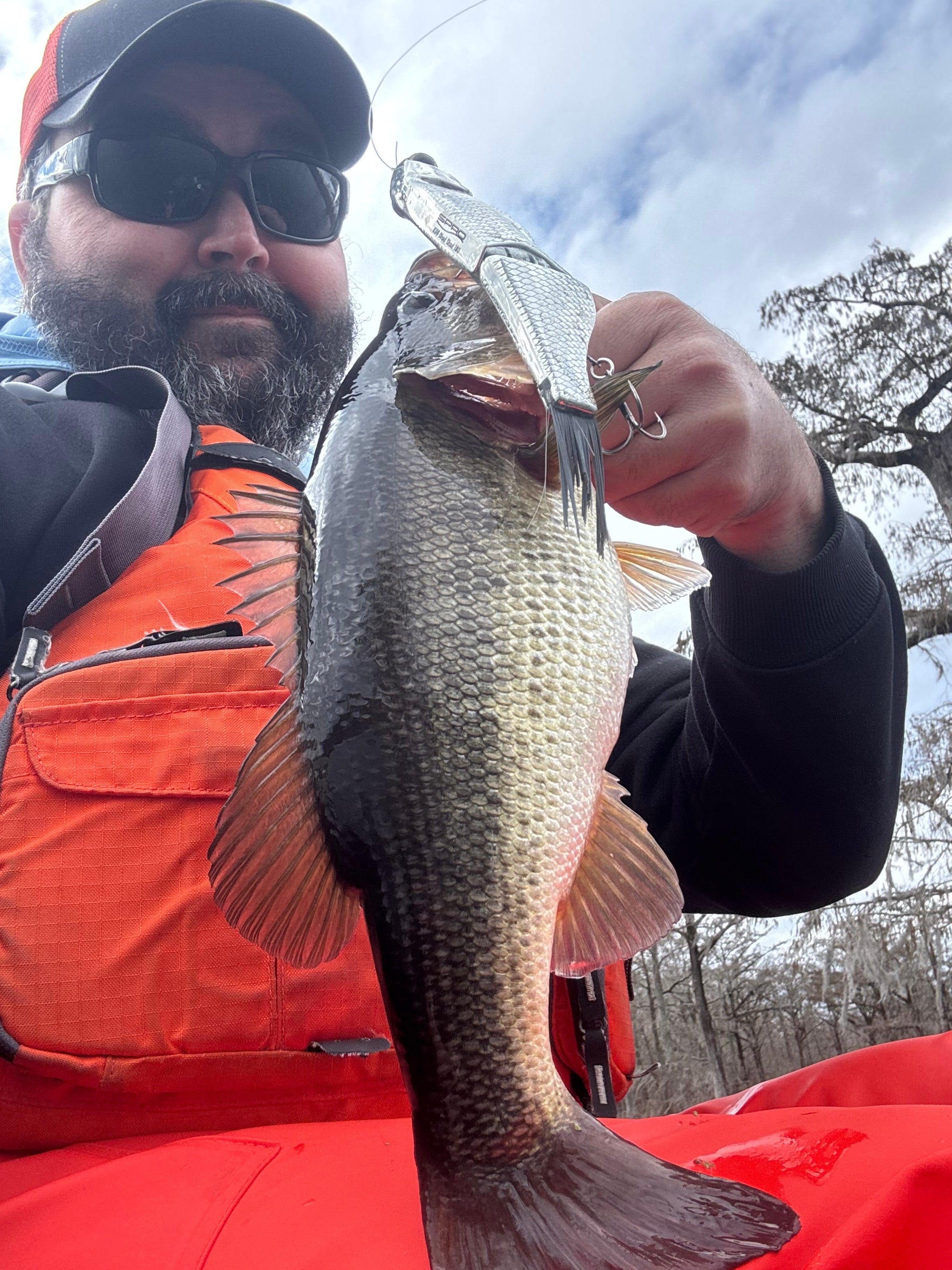
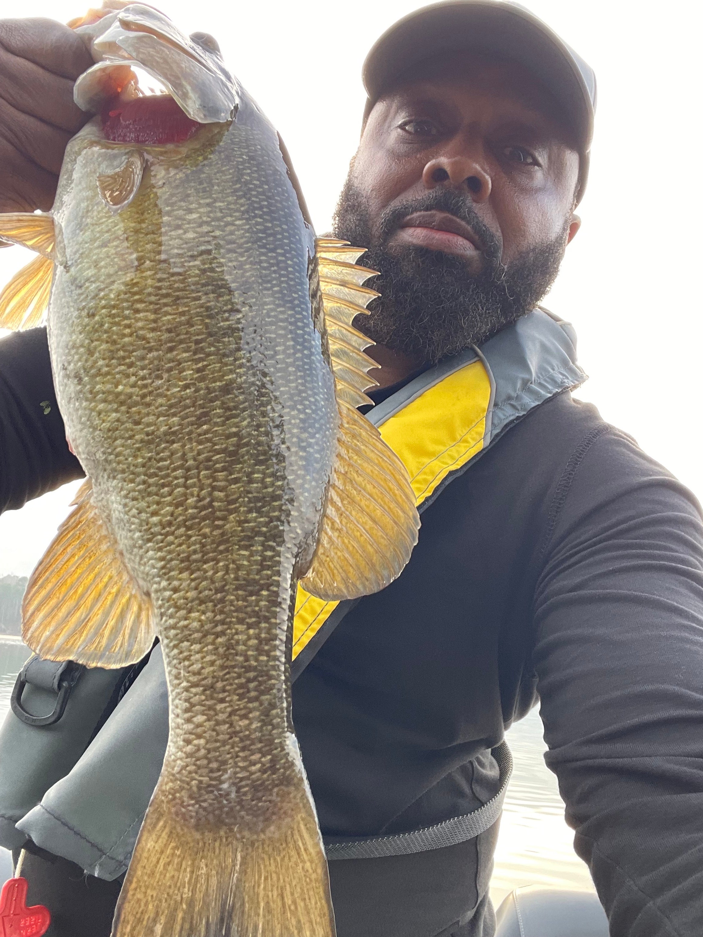
I’m loving this jerkbait and crankbait bite when the winds too heavy to scope effectively. Been targeting every bit of riprap and rock I can find with em. This girl was hanging out on the backside of a bridge opposite of the wind where the current broke

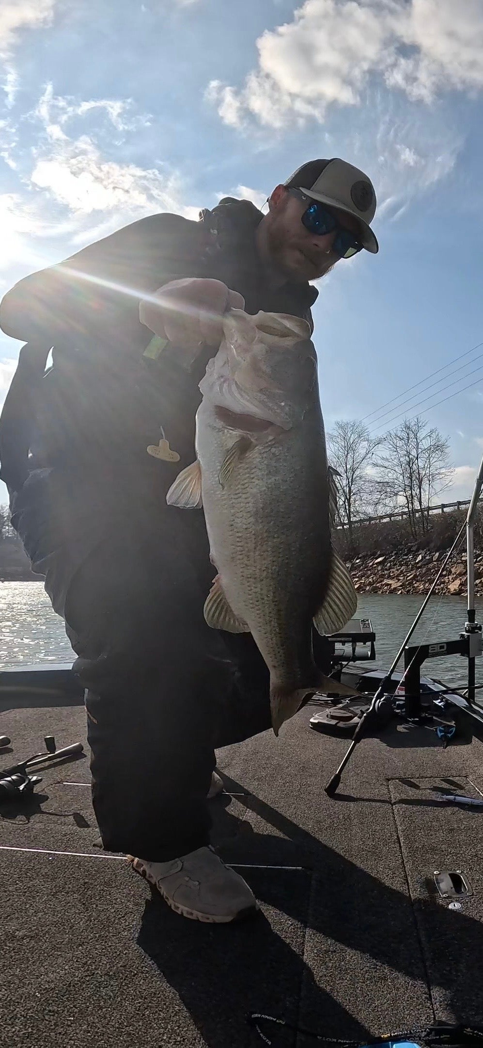
This is what I learned from SUF app. Took my nephew out today looking for pre spawn bass. Found this nice secondary point around the corner from a timber field. He threw a chatterbait up on the tip, I’m sure right by the brush pile and caught the biggest bass that’s been on my boat. Cant find another point on the lake with brush piles, hard bottom, and gravel. What are other areas I can check?

I love getting together with friends to go kayak bass fishing..!! Lake Sinclair..Me, Kevin Gray, Kevin Machen and Larry Bugg...